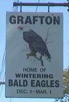
The Mississippi River looking downstream from Grafton, Illinois. This area is the wintering home to many Bald Eagles and draws tourists from all over the U.S. to see them. The eagles glide from the bluffs to the river in search of fish, their primary food source. There's a road that runs along the bluffs, the Great River Road, which includes a separate bike trail that draws thousands of people to hike, jog or bike along it to take in the pretty scenery.
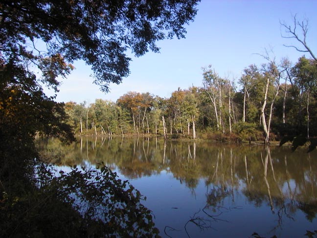
This is Pohlman's Slough, and is one of many on Calhoun Point, a large peninsula between the Mississippi and Illinois Rivers. I hunt this wildlife area frequently as it is close to my home.
It is loaded with deer, raccoons, fox squirrels, and ducks - in the fall and winter. It also has an abundance of turkey, coyotes, and a few bobwhite quail.
By the Way - The first time I coon-hunted it, I got lost big-time. On one side of the Peninsula the Illinois River runs East; on the other side the Mississippi River runs North - and it's also got about 5 different sloughs on it, three of them are shaped like a glove.
When I finally made it out to the Miss. River, it was running the wrong way!
It had me scratching my head - LOL
And Pohlman's Slough below - what a peaceful place...
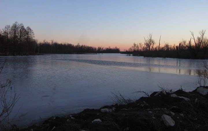
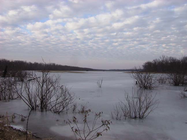
Below is Fowler Lake. It's on the east side of the Illinois River. This (and all the lakes/sloughs on this page) are managed heavily for Waterfowl. If you look closely, you may be able to see a couple duck blinds on the left. This pic was taken a few weeks after the long cold spell we had, and as you can see, the lake is still frozen.
Directly behind me from the picture above is Long Lake. Nearly all of these Waterfowl Lakes have water pumped in (or let in naturally) from the nearby River/s. There's usually a series of culverts connecting the lakes that can be sealed off to raise the water-level in the upper-most lakes. After Duck season closes they open the culverts and raise the water levels of the lakes below. When I took this pic of Long Lake, the culvert from Fowler Lake was open and it was draining into Long Lake. (You can see the stream of water running in and how it started melting the ice.)
Long Lake (below)
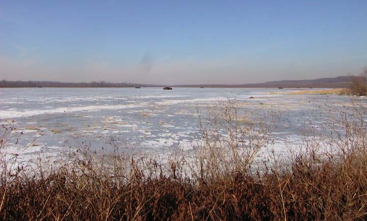
About 3 miles South of Fowler Lake is Upper Eagle Lake (below)
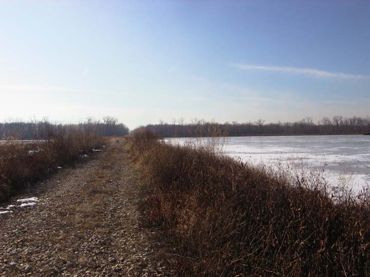
I took this pic on the levy where this lake is being drained into, what else? - Lower Eagle Lake (Notice the Duck Blinds )
Below is the levy that separates Upper Eagle Lake from the Lower part. You can see one of my dogs waiting for me to go hunt the other side. And I'm waiting for the other dogs to catch up with us.
There's miles of Riverbottom Timber that run along and between these lakes (or sloughs) and all are on public land. From where I'm standing in this pic, there's 3 separate lakes/sloughs before you get to the Illinois River - Eagle Lake, Long Lake, and Deep Lake.
I'm anxious to try some Crappie fishing on these come spring - I've been told it's excellent - since the water warms up faster than the deeper lakes.
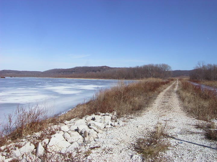
Below is Eagle Lake, from the other side of the Levy - looking back East towards the Bluffs.
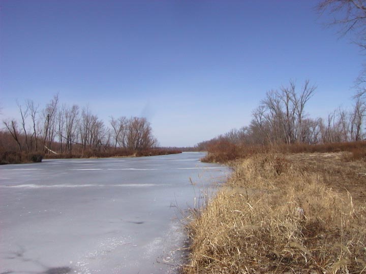
Below (and directly behind me from Pic above) is Long Lake.
It looks more like a big creek than a lake, doesn't it?
If you look closely, on the left you can see a channel that goes over to Deep Lake. And to the West of Deep Lake is the Illinois River.